
University seminar 'Horizons of Science Disciplines', 18.05.2023
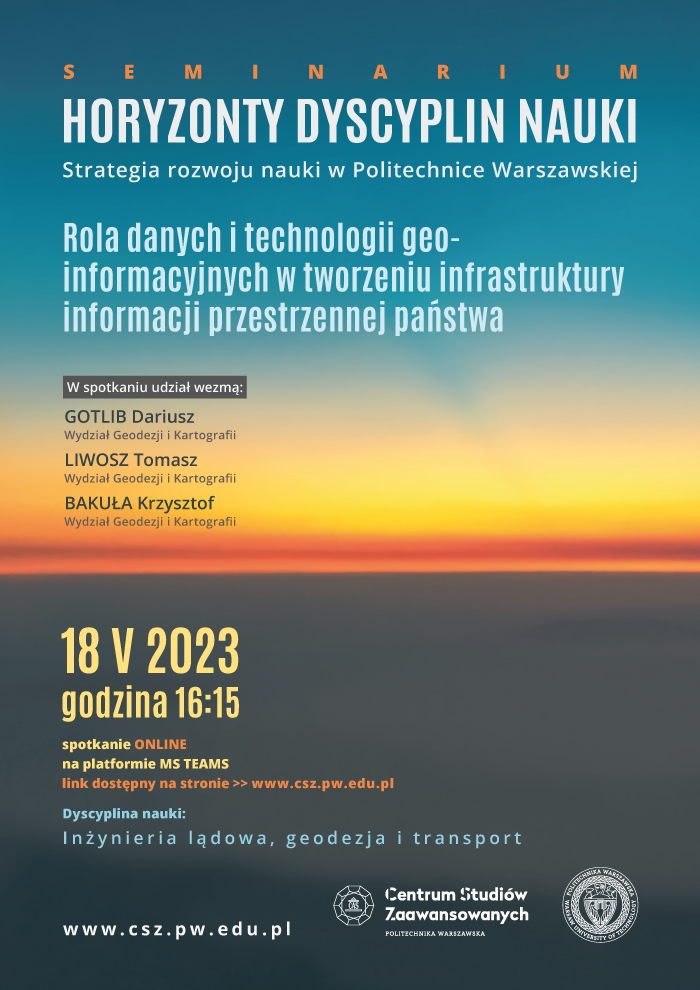
The WUT Center for Advanced Studies invites you to the university-wide scientific seminar Horizons of Science Disciplines entitled. "The role of data and geo-information technologies in the creation of the state's spatial information infrastructure".
The seminar aims to present the achievements of teams representing the various disciplines of science at Warsaw University of Technology. The second meeting in the series will focus on the discipline of Civil Engineering, Geodesy and Transport, discussing the construction of the national spatial information infrastructure and methods of its integration into the European infrastructure.
Spatial information currently represents a huge social value. It is estimated that about 80% of the decisions made by the administration are based on geospatial data, and these decisions translate directly into the living comfort of citizens and businesses. An innovative and user-friendly geospatial information infrastructure (IIP) will allow widespread use of geo-information in the daily activities of companies and individuals; at the stage of investment planning, real estate trading, use of navigation systems, etc. Based on the so-called 'unbundled geospatial data' (open data), innovative applications are being developed to support business development and the daily life of EU residents. Spatial reference systems, which are the basis for all geodetic and cartographic studies, including official maps (traditional and electronic), are also part of the geo-infrastructure. They are essential in areas of the economy that make use of geoinformation technologies and spatial analyses (functioning of public administration, health care, environmental protection, security and defence of the state), where ensuring the uniformity of the data presentation space makes it possible to conduct analyses on a national, regional or global scale. The value of work related to the construction of the national and European Information Infrastructure amounts to hundreds of millions of zlotys, and the scope of use concerns millions of citizens.
The seminar speakers from the Faculty of Geodesy and Cartography at the Warsaw University of Technology will be Dariusz Gotlib, D.Sc. Krzysztof Bakuła, Ph.D. and Tomasz Liwosz, Ph.D., and the tutors will be Anna Bober, Ph.D. and Jarosław Somla, M.Sc. from the Head Office of Geodesy and Cartography. The event will be chaired by Janusz Walo, Ph.D., Professor of the Faculty of Geodesy and Cartography at the Warsaw University of Technology.
The online seminar will take place on 18 May 2023 at 4.15 pm on the TEAMS platform. The link to register for the meeting can be found here.
If you have any additional questions, please direct them to hdn.csz[at]WUT.edu.pl
All interested parties are welcome to attend the seminar.